Maps
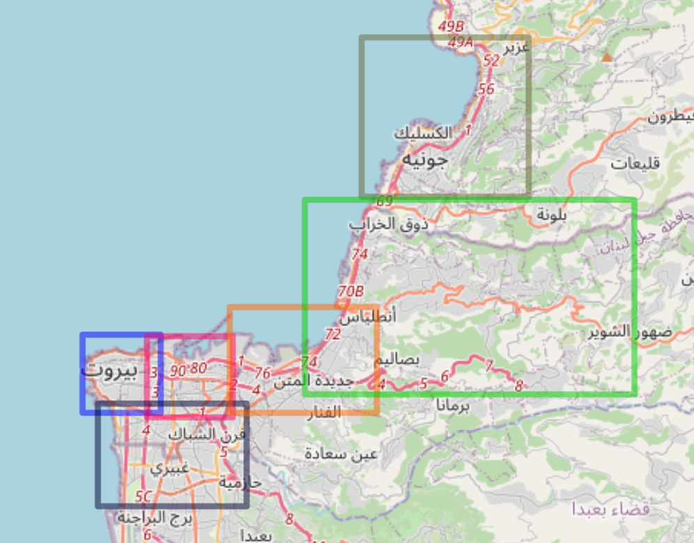
Project data was divided according into polygons, roughly corresponding to areas in greater Beirut. The first static image below shows these polygons: Western Beirut (blue), Eastern Beirut (red), southern suburbs (black), Zalka highway (orange), Metn (light green), Bay of Jounieh (olive green). The script for creating these polygons can be found here.
Here is a sample of data from the Metn District in the Mount Lebanon region of suburban Beirut:
More maps are forthcoming.